



Monaco Guide · Urban History
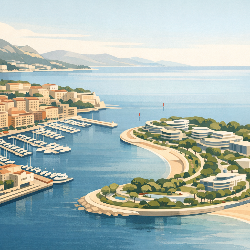
Monaco’s coastline is not simply a natural edge. At Fontvieille and Mareterra, it is also a record of two different generations of city-making: one that created a complete working district beside the Rock, and another that reshaped the eastern waterfront around landscape, public space and contemporary architecture.
Why Monaco has repeatedly looked seaward
The Principality covers a compact, steeply layered territory. Expanding inland is constrained by the French border and by topography, so projects built into the Mediterranean have played an unusually visible role in Monaco’s urban development. A 2019 report from Monaco’s official statistics institute described offshore expansion as a response to land scarcity and recorded six such projects by that date.
That history is easy to miss when walking through the finished city. Fontvieille feels established, with a port, homes, offices, public facilities, gardens and cultural attractions. Mareterra feels deliberately new, with a sinuous waterfront, planted public spaces and an architectural language intended to connect the city back to the sea. Together, they show how Monaco’s priorities and planning vocabulary changed across half a century.
Start with the urban question
Land reclamation is the engineering background, not the whole story. The more revealing question is what Monaco chose to place on the new ground, who can use its public spaces and how each district connects to the neighbourhoods already around it.
Fontvieille: a new piece of everyday city
Fontvieille’s origins belong to the era of Prince Rainier III. An official record in the Journal de Monaco recalls the 1965 concession for the platform and new port, followed by the State’s acquisition of the reclaimed ground in 1973. Development over the following years produced far more than a residential enclave.
Walk around Fontvieille today and the district reveals a mixed urban programme: the marina, housing, administrative and business uses, sports facilities, landscaped areas and visitor attractions all sit within the same reclaimed zone. The contrast with the Rock above is particularly instructive. Monaco-Ville announces itself through elevation, stone and defensive geography; Fontvieille is organised at a lower level around quays, broad blocks and deliberately planned open space.
The ViewMonaco Fontvieille half-day itinerary is the better guide for a detailed visit. For the purposes of reading the city, concentrate on the relationship between the port, the street grid and the green spaces: they show how the project was designed to function as a district rather than as a single waterfront development.
Mareterra: landscape as part of the infrastructure
Mareterra represents a later generation of offshore urbanism. The six-hectare district was officially inaugurated on 4 December 2024, and its public spaces opened the following day, according to Visit Monaco. Its master plan brings together homes and shops with a mostly pedestrian public realm, a small port, a planted park and a promenade that continues towards Larvotto.
The official Mareterra project guide identifies the Prince Jacques promenade, La Pinède and La Vallée, Place Princesse Gabriella and Le Petit Portier among the principal spaces. These are useful points of orientation, but they are also clues to the project’s broader logic: planting, shade, changes of level and views are not treated as decoration added after construction. They help organise movement through the district.
Architecture enthusiasts will recognise major international names associated with individual buildings and the landscape plan. Yet Mareterra is most legible at pedestrian scale. Follow the public paths, notice how the coastline curves, and watch how the new ground meets the Grimaldi Forum, the restored Larvotto waterfront and the existing road network.
A complete mixed district
Its urban identity comes from accumulated daily use: housing, work, port activity, sport, culture and gardens sharing reclaimed ground beneath Monaco-Ville.
A continuous landscaped waterfront
Its public face is shaped by pedestrian routes, planted topography, a new marina and a coastal promenade linking established eastern destinations.
What the two districts share, and what separates them
Both projects answer the same geographical problem, and both create more than buildable plots. Each includes public routes and a harbour setting, and each must negotiate a difficult meeting point between engineered ground and Monaco’s steep existing city.
The differences are equally important. Fontvieille reads as a mature piece of urban fabric whose varied functions have settled over time. Mareterra presents a more recent model in which environmental mitigation, landscape design and the quality of the pedestrian waterfront are central to the project’s public identity. Comparing them is therefore less about choosing a favourite and more about seeing how the definition of a successful extension evolved.
Four details to notice on the ground
- The edge: compare Fontvieille’s working quays and enclosed marina with Mareterra’s long open promenade.
- The levels: look for ramps, stairs, planted slopes and lifts that reconnect flat reclaimed land to the city above.
- The mix: distinguish private buildings from genuinely public paths, gardens and gathering spaces.
- The older city: turn inland and see how the Rock, Larvotto and the Grimaldi Forum frame the new coastline.
How to experience both without turning it into a race
Fontvieille and Mareterra sit on opposite sides of central Monaco, so this is best treated as a two-part urban study rather than one uninterrupted waterfront walk. Give each district its own hour or half-day, then use the centre of Monaco as the connection. Public transport can absorb the longer transfer and save energy for exploring on foot.
In Fontvieille, begin around the marina and move inland through the district’s public spaces before looking back towards the Rock. At Mareterra, start near the Grimaldi Forum or Larvotto and follow the public realm towards the small port. Access arrangements, retail openings and works around individual buildings can change, so follow on-site signs and check the official district information before a visit.
For a wider geographical overview, use the published Monaco Neighbourhoods guide. It places Fontvieille and Mareterra alongside the historic and central districts that make their differences easier to understand.
See Monaco district by district
Continue from the reclaimed waterfronts to dedicated guides for Monaco-Ville, Monte-Carlo, La Condamine, Larvotto and the rest of the Principality.
